The highest peak in the Faroe Islands: loose scree, wind and fog, a near-vertical final stretch, and facing a fear of heights at the top.
Have you ever heard of the Faroe Islands? With a population of less than 55,000 people and a hidden gem in the Northeast Atlantic, it’s likely you haven’t. The total land area of Faroe Islands is less than 1,400 square kilometers — would you believe me if I said that it is smaller than the state of New York?
Nonetheless, Faroe Islands is known for its breathtaking landscapes and picturesque sceneries. It is an archipelago of 18 islands, shaped millions of years ago by volcanic activity in the ice age. On a clear day, several of these archipelagos are visible at the summit of “Slaettaratindur,” — the highest point of the Faroe Islands.
The Slaettaratindur hike is one of the most popular hikes in the Faroe Islands that offers an incredible, “panoramic,” view of the island. Slaettaratindur is the highest mountain peak in the Faroe Islands, standing at around 880 meters (2887 feet) above sea level. It is approximately a 2.5 mile hike, and takes around 3 to 4 hours to complete. I say “approximately” as several sources report back different numbers. Nonetheless, although these numbers may look small, other factors turn this into a much more grueling and physically demanding hike.
The beginning of the Slaettaratindur hike is located in the village of Eioi. The village is located on the northern part of the island Eysturoy. This is easily accessible by car, and we drove from the capital city, Torshavn.
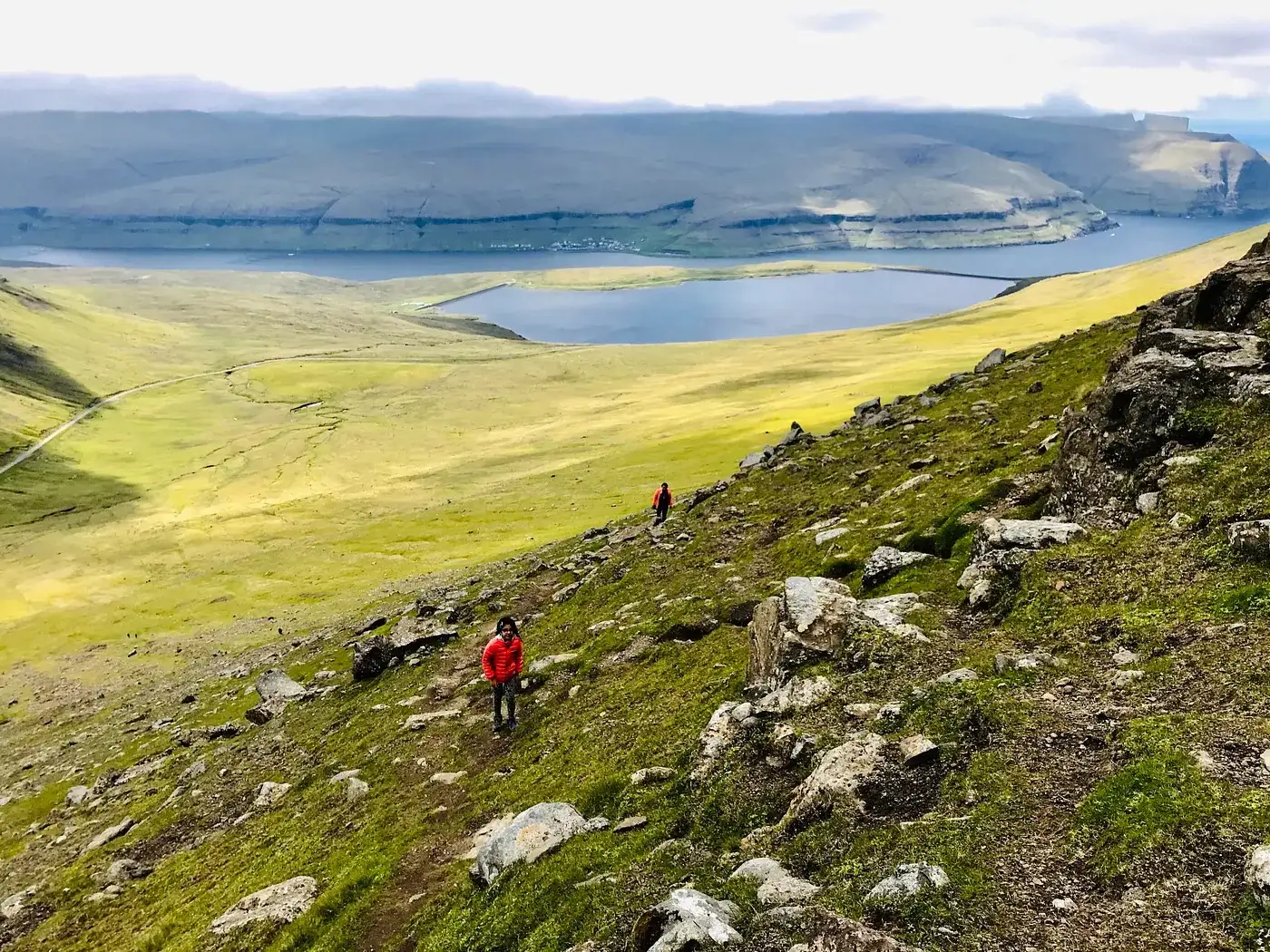
As Slaettaratindur is the highest mountain peak in the Faroe Islands, the terrain of the Slaettaratindur hike is characterized by steep inclines, rugged rocks, and boggy patches — a type of terrain that even an avid hiker like me doesn’t see often. With so many varieties of terrain like this, this hike taught me how to navigate different types of terrain.
We began the hike early in the morning. The beginning part of the hike is relatively easy, as it consists of mostly hiking through grassy slopes, but as the elevation increases, the terrain becomes more rugged, and with rocks and roots buried into the ground, there are many easy ways to trip and fall. There are also many scree slopes.
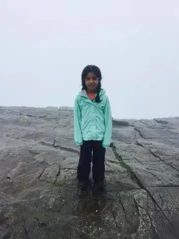
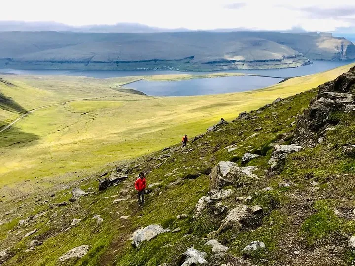 In this photo, you can see the terrain of Slaettaratindur. I am standing in the orange jacket, closest to the camera.
However, the last 10% of the hike is where things become much more difficult. Unlike the rest of the trail, which is certainly steep and rocky, the last 10% of this trail becomes a practically vertical climb, and tactical scrambling is a skill you must have to complete this.
For us, this last bit of the hike felt exactly like climbing a wall with all the elevation gain on a fully exposed, unmarked trail. It also consisted of me scrambling on all fours amidst strong winds and passing fog.
As the wind was extremely strong, it made it difficult to maintain my balance while scrambling. My family and I had to use our bare, stiff hands to grip onto nothing but moss to scramble across the rocks — because that is all that was available!
One wrong move, or one wrong footing, and a 1,500 feet fall into an abyss awaited you. As you can see, it was definitely risky. It added an extra level of difficulty, and for me, a person with a fear of heights, (despite being such an avid hiker!) an extra level of fear to the already challenging hike.
In the moment, however, my dad boosted my confidence by reminding me of several times I had faced other difficulties in hiking. All of which, I eventually got through. And thus, panic didn’t exactly set in for me while scrambling across these rocks. Perhaps it was the adrenaline, or perhaps it was my determination to complete what I had started, which kept me going and distracted me from what sat below me.
For me, panic set in at the top of Slaettaratindur, despite passing by the cold fog and now in front of sunny, breathtaking views of various islands. Today, my best guess is that the high wind speeds which pulled me towards several open ledges, freaked me out. This is most likely because they were both things I’d never experienced before. I had never experienced winds like these and never seen such heights below me. Add two and two together, and you get panic: despite the once-in-a-lifetime views in front of you.
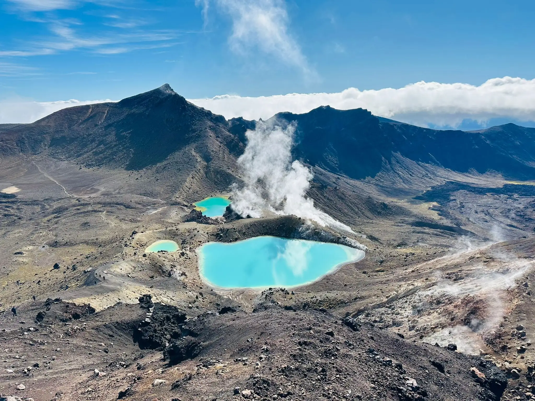
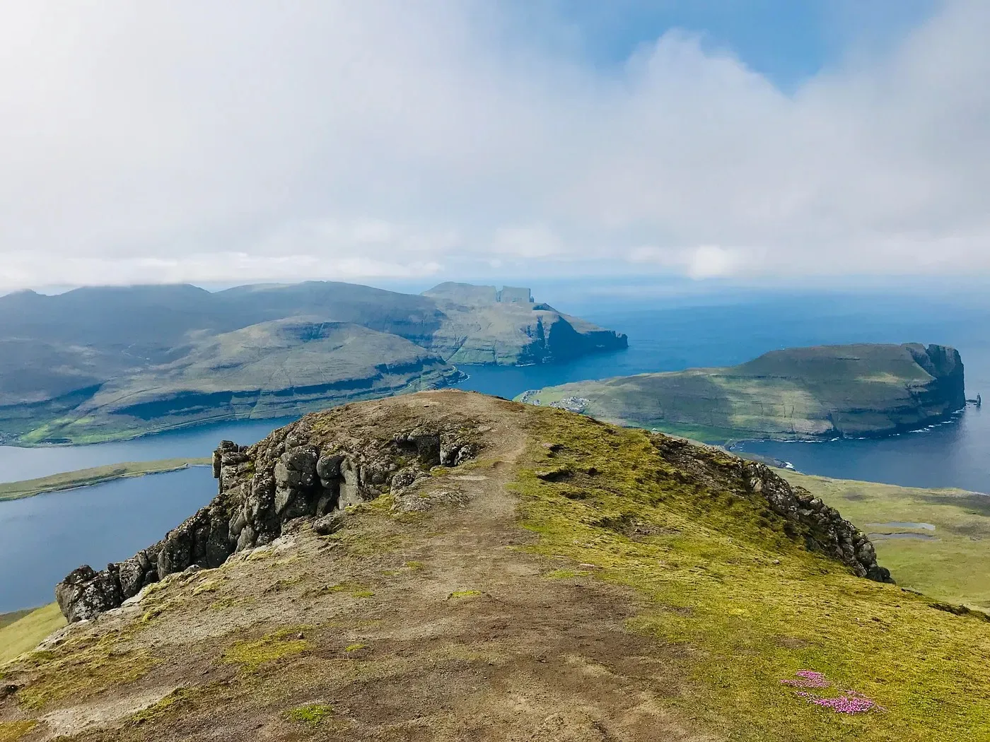 The view from the top of Slaettaratindur.
Climbing Slaettaratindur was a challenge that was the first to test my physical and mental limits. As a child, I was (and still am somewhat) afraid of heights. Factors like wind only added to my fears, but I refused to get my panic in the way of my success for too long. For the end of the hike, I took everything one step at a time till I finally reached the summit.
Today, I realize that the only thing truly standing in my way was my own fear, and this experience taught me that with determination and grit, anything is possible. This is a lesson I carry on not just my hiking adventures, but even in day-to-day life at sea level. Although heights can still make me nervous, I know for a fact that I left that mountain feeling a little more confident and a little more fearless!